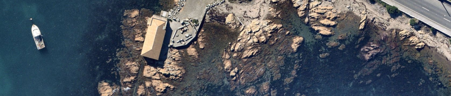
The ability to create figures, conduct desktop reviews, or prepare proposals revolves around the accuracy of site imagery. Having the highest quality, up to date information at the beginning of a project puts the consultant on the front foot when they arrive on-site to complete the investigation.
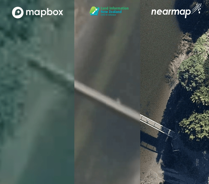
Knowing what your site looks like not only gives you information about your site but helps explain the details of the site to your clients. Reviewing detailed aerial imagery is key and can reveal a lot about a site. Mapbox provides aerial imagery in evalu8 that covers New Zealand, however, the resolution varies wildly from 20cm to 30m meaning that often the image clarity is poor, often in the highly urbanised areas in which consultants mostly operate.
In Evalu8, we use LINZ aerial images as they provide full coverage of mainland New Zealand, the Chatham Islands, and other offshore islands. Whilst some rural areas have resolution down to only 10 metres, the coverage of cities can be down to 5cm, which offers excellent resolution of your site. LINZ is slightly limited by the time range of their aerial imagery (2010 – 2020) depending on the area (Balclutha being one of the most recent data sets).
Hana Kirk is the Product Manager for Soil Matters, a soil consultancy based in Christchurch. Soil Matters provide consultancy advice and tailor-made natural Fertilisers to farms throughout New Zealand. As a company, they rely on aerial imagery to review sample points and gain a better understating of their client’s sites and needs. Hana’s base knowledge came from a large company where amongst many things she worked in GIS


Recent Comments